For thousands of farmers, fishermen and rural families across Kwara, Kogi and Niger states, the Oshin-Oyi Catchment is far more than a geographical landscape. It is a lifeline that sustains agriculture, provides water, supports local economies and underpins the livelihoods of communities across the region.
However, years of flooding, deforestation, soil erosion and unsustainable land-use practices are placing increasing pressure on this vital ecosystem, threatening its capacity to sustain livelihoods and support economic activities.
With the catchment’s population projected to exceed 15 million by 2050, pressure on its land and water resources is expected to intensify, raising concerns about food security, environmental sustainability and the long-term wellbeing of communities that depend on them.
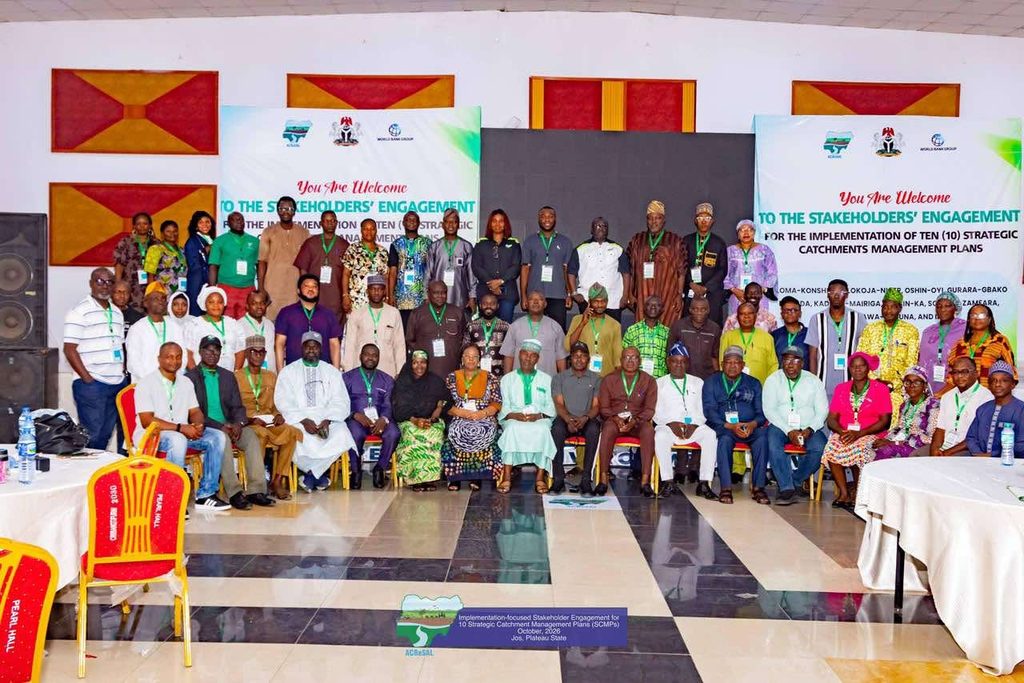
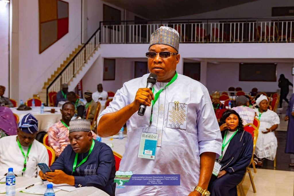
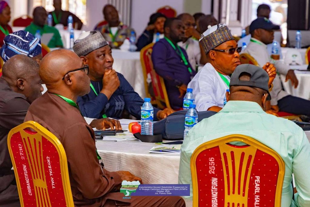
These concerns featured prominently on the third day of the ongoing stakeholder engagement on the implementation of the Strategic Catchment Management Plans (SCMPs), organised by the Agro-Climatic Resilience in Semi-Arid Landscapes (ACReSAL) Project in Jos, Plateau State.
Covering approximately 4.9 million hectares, according to the catchment assessment presented at the engagement, the Oshin-Oyi Catchment spans parts of Kwara, Kogi and Niger states. It supports important agricultural zones, livestock production systems and urban water supply networks, while contributing to water security and climate-resilient development.
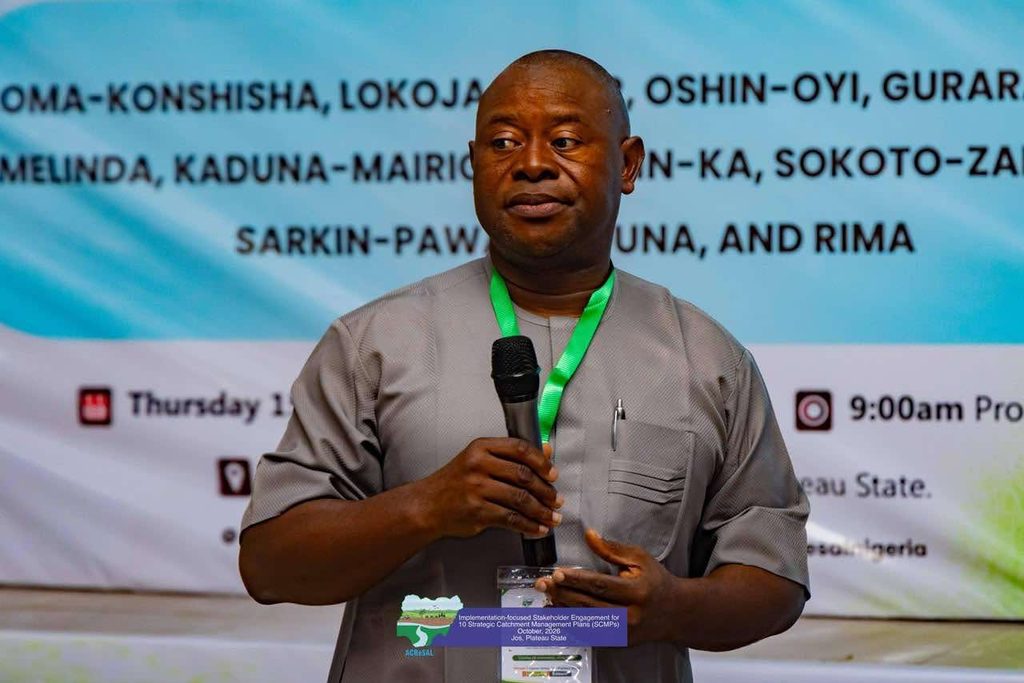
Presenting findings from the assessment, the Managing Director of MECON Geology and Engineering Services Limited, Mr. Chika Ofodile, highlighted the growing environmental challenges confronting the area and emphasised the need for coordinated action among governments, communities and development partners.
He explained that the Strategic Catchment Management Plan provides a scientific framework for identifying environmental challenges, prioritising interventions and guiding long-term restoration efforts.
The plan is designed to promote a coordinated approach to managing land and water resources, ensuring that interventions are informed by scientific evidence, local realities and the long-term needs of affected communities.
Findings presented during the engagement identified flooding as a persistent threat, particularly in communities situated along the River Niger floodplain corridor.
Areas including Mokwa, Edu, Pategi, Lavun and Borgu continue to experience seasonal flooding that threatens homes, destroys farmlands, damages infrastructure and disrupts economic activities, leaving affected communities vulnerable to recurring losses.
Beyond flooding, land degradation remains a major environmental concern. Data presented by the National Centre for Remote Sensing (NCRS) indicated that approximately 48 per cent of the catchment faces a high risk of soil loss, increasing the potential for erosion, river sedimentation and declining agricultural productivity.
The assessment also highlighted a reduction in vegetation cover over the years, pointing to the effects of deforestation and changing land-use patterns on the ecosystem’s ability to withstand climate-related shocks.
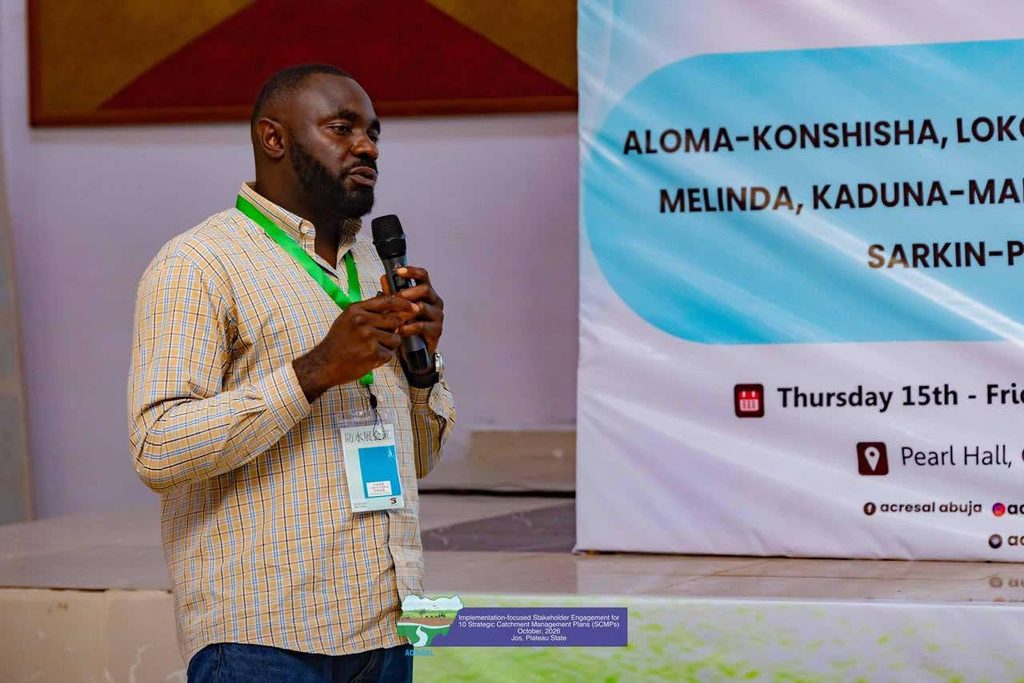
In his presentation, Mr. Sam Oji of the National Centre for Remote Sensing explained that researchers employed geospatial technology, satellite imagery and scientific analysis to identify vulnerable locations and determine priority areas for intervention.
These technologies provide an evidence-based foundation for environmental planning, helping stakeholders understand the scale of existing challenges, identify areas requiring urgent attention and direct resources towards interventions with sustainable benefits.
For stakeholders, however, the challenge extends beyond identifying environmental problems. The priority is translating scientific findings into practical, coordinated and sustainable solutions that restore degraded landscapes, protect communities and strengthen resilience against future environmental threats.
Among the priority interventions identified in the plan are gully erosion control, afforestation, flood management, river desiltation, climate-smart agriculture, improved access to clean water, watershed restoration and conflict mediation among competing resource users.

Together, these interventions are intended to address the interconnected challenges confronting the catchment while moving beyond emergency responses towards a comprehensive, long-term approach to environmental protection and sustainable resource management.
Effective implementation of the Oshin-Oyi Strategic Catchment Management Plan is expected to contribute to improved and more equitable water security, reduced exposure to flood and drought risks, restoration of vital ecosystems and prevention of further land degradation.
The anticipated benefits also include improved water quality, increased agricultural productivity, stronger climate resilience, diversified livelihood opportunities and reduced conflicts arising from competition over natural resources.
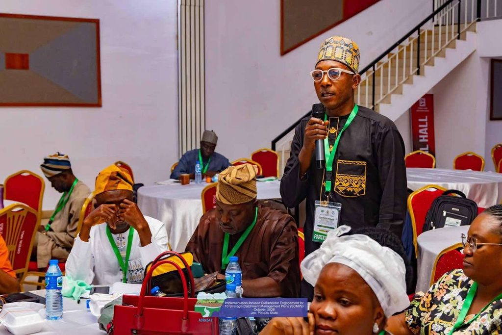
By encouraging collaboration among government institutions, local communities, technical experts and development partners, the plan also provides a framework for mobilising investments and sustainable financing to support environmental restoration and inclusive development across the catchment.
For ACReSAL and its partners, the Oshin-Oyi Catchment presents an important opportunity to demonstrate how scientific evidence, strategic planning and collective action can help reverse environmental degradation and secure a more sustainable future for vulnerable communities.
Achieving this vision will require effective implementation, sustained institutional commitment, adequate financing and the active participation of communities whose livelihoods are directly linked to the catchment’s land and water resources.
As stakeholders advance the implementation of the Strategic Catchment Management Plans, the focus remains on translating environmental assessments into tangible results that protect lives, restore ecosystems and strengthen communities’ resilience to climate-related risks.
With coordinated leadership, evidence-based interventions and strong community ownership, the Oshin-Oyi Catchment can move towards a future in which healthy landscapes support productive agriculture, secure water resources, resilient livelihoods and sustainable economic growth.

Ultimately, the success of the plan will be measured not merely by the hectares of land restored or the environmental challenges addressed, but by the lasting difference it makes in the lives of millions of people who depend on the catchment for their livelihoods, survival and prosperity.
ACReSAL: Greening the Environment, Saving Lives!